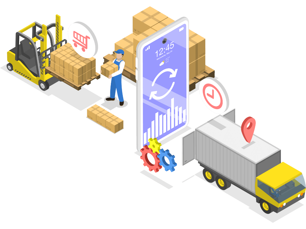
Enhancing Supply Chain Visibility with GIS
In today’s global market, supply chain efficiency and transparency are essential for maintaining competitive advantage. Geographic Information Systems (GIS) play a pivotal role in enhancing supply chain visibility by providing detailed spatial insights that drive better decision-making and operational efficiency
Here’s how GIS contributes to a more transparent and efficient supply chain
Real-Time Tracking and Monitoring
GIS provides real-time tracking of goods and inventory across the entire supply chain. By integrating GPS and IoT data, companies can monitor the location and status of shipments, vehicles, and warehouses in real-time. This capability allows for immediate responses to delays, disruptions, or deviations from the planned route, ensuring smoother operations and timely deliveries.

Optimizing Routes and Logistics
With GIS, supply chain managers can optimize transportation routes by analyzing various factors such as traffic patterns, road conditions, and delivery windows. By visualizing these elements on a map, companies can identify the most efficient routes, reduce transportation costs, and minimize delays. This optimization also contributes to improved fuel efficiency and reduced carbon emissions.
Enhancing Inventory Management
GIS enables more accurate and efficient inventory management by mapping warehouse locations and analyzing inventory distribution. Companies can visualize inventory levels in different locations, forecast demand, and plan for optimal stock levels. This spatial insight helps prevent stockouts and overstock situations, leading to better inventory control and reduced holding costs.


Identifying and Mitigating Risks
By incorporating environmental and geographical data into GIS, companies can assess potential risks and vulnerabilities in the supply chain. This includes analyzing factors such as natural disasters, political instability, and logistical challenges. GIS helps in developing contingency plans and risk mitigation strategies, ensuring the supply chain remains resilient in the face of unforeseen events.
Improving Supplier and Vendor Management
GIS offers valuable insights into supplier and vendor locations, helping companies evaluate and manage their relationships more effectively. By mapping supplier locations and analyzing their proximity to production facilities and distribution centers, companies can streamline procurement processes, reduce lead times, and negotiate better terms based on logistical efficiencies.


Enhancing Strategic Decision-Making
GIS supports strategic decision-making by providing a comprehensive view of the supply chain network. It allows companies to analyze performance metrics, assess supply chain efficiency, and identify areas for improvement. With spatial data visualization, decision-makers can make informed choices about expanding or optimizing supply chain operations.
By integrating GIS into supply chain management, companies gain a deeper understanding of their operations, improve visibility, and enhance overall efficiency. The ability to analyze and visualize spatial data transforms supply chain management from a reactive process into a proactive and strategic function, driving greater operational success and competitive advantage.
Talk to a Consultant
Enhance your business by utilizing our comprehensive GIS services. We offer everything from data analysis and visualization to custom project development and have the skills and resources to assist you in achieving your goals. Get in touch with us today to schedule a consultation and learn how GIS can revolutionize your business. During the consultation, we will discuss your specific needs and create a tailored plan to help your business thrive.
