Geocoding
In the rapidly evolving world of Geographic Information Systems (GIS), Geocoding plays a crucial role by transforming addresses, postal codes, or any location-based data into precise geographic coordinates (latitude and longitude). This process allows businesses, government agencies, and organizations to visualize and analyze spatial information on digital maps, improving both operational efficiency and decision-making.
Geocoding serves as the foundation for many location-based services such as navigation, delivery systems, and emergency response, as well as for tasks like market analysis, logistics planning, and customer behavior tracking. By leveraging geocoding, industries across the board can gain a better understanding of geographic relationships, identify trends, and create actionable strategies.
What is Geocoding?
At its core, Geocoding is the process of converting addresses, city names, postal codes, or other descriptive location data into precise geographic coordinates. These coordinates can then be mapped and analyzed to visualize spatial relationships between places and activities.
This geocoded data enables industries to perform advanced location-based analysis, allowing businesses to gain insights that traditional data analysis tools simply cannot provide. Whether it’s finding the best location for a new retail store, optimizing delivery routes, or monitoring public health metrics, geocoding allows businesses to make decisions that are backed by accurate, actionable geographic data.
Key features of Geocoding include:
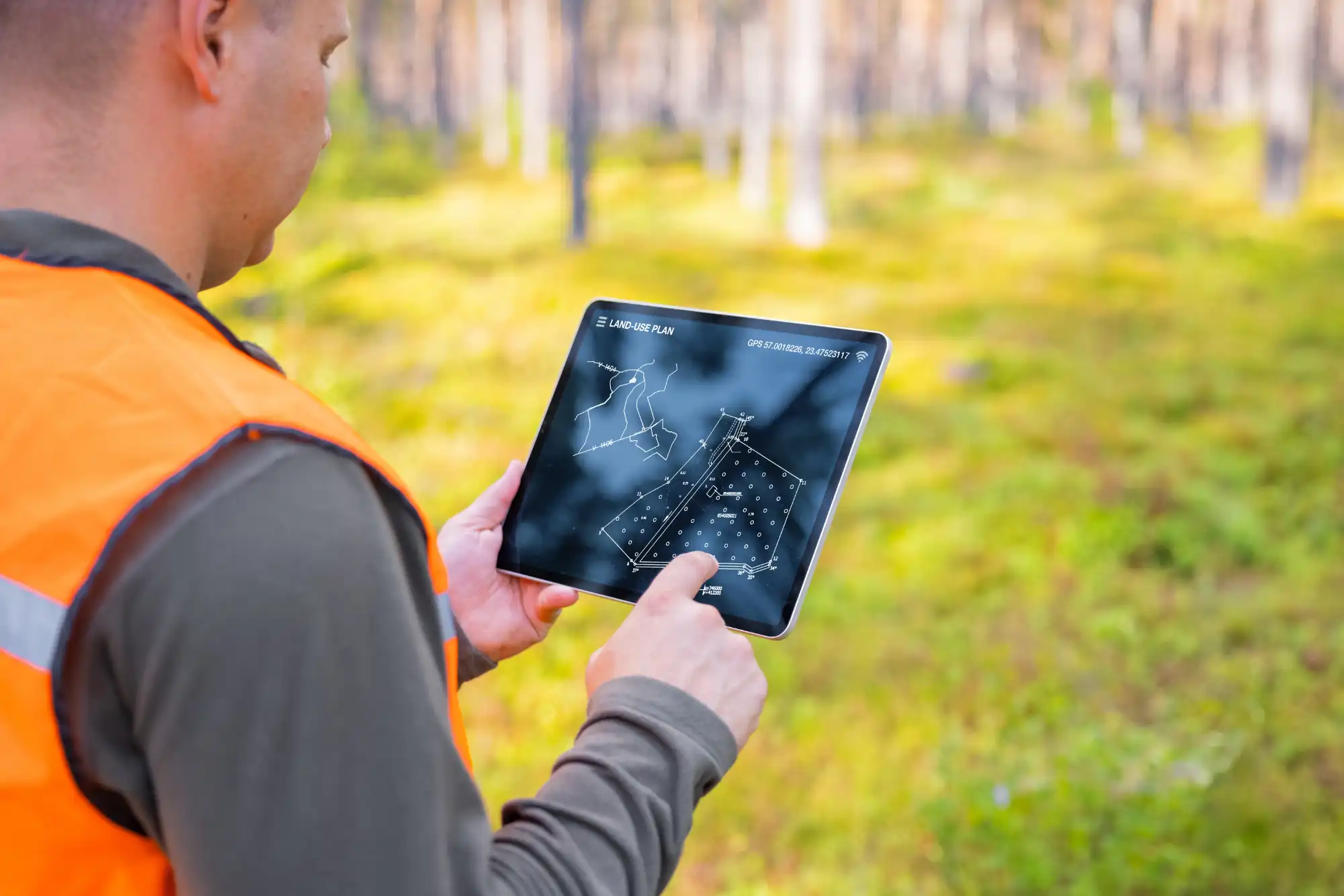
- Precise Mapping: Converts text-based locations (addresses, ZIP codes) into geographic coordinates.
- Spatial Insights: Enhances the visualization of customer locations, service areas, and delivery routes.
- Scalable Applications: Geocoding can be applied to both small local businesses and large-scale global operations.
Advantages of Geocoding
Geocoding offers a wide array of benefits that go beyond simple mapping. It enhances the quality of location-based data, supports the integration of multiple datasets, and improves the accuracy of location-based services. Here are the key advantages of geocoding:
Accurate Location Data
Geocoding ensures that raw address data is converted into precise geographic coordinates, improving the accuracy of spatial analysis and mapping. Whether it’s for customer analysis or emergency services, accurate data ensures that decisions are made based on the most reliable location information available.
- Precision Mapping: Converts addresses into latitude and longitude coordinates with high accuracy.
- Data Reliability: By ensuring geographic precision, businesses can rely on data-driven decision-making for optimal results.
Accurate geocoded data is crucial for companies that need to plan resources, optimize logistics, or visualize large sets of customer locations.
Improved Data Integration
Geocoding enables the integration of location data with other datasets, such as demographics, sales figures, or customer profiles, providing a comprehensive view of business operations. By combining geocoded data with other forms of business intelligence, companies can unlock new insights and perform in-depth analyses.
- Comprehensive Analysis: Integration with additional datasets enables deeper insights into geographic trends and customer behavior.
- Business Intelligence: Geocoded data empowers decision-makers to analyze patterns that traditional data analytics might overlook.
For example, retail chains can merge customer locations with demographic data to optimize store locations or create targeted marketing campaigns.
Enhanced Location-Based Services
Geocoding powers various location-based services, such as navigation, delivery tracking, logistics planning, and emergency response. With accurate geocoded data, businesses can deliver more efficient services by optimizing routes, reducing delivery times, and enhancing the overall customer experience.
- Navigation and Routing: Enables precise route planning for delivery and logistics services.
- Emergency Response: Allows first responders to locate incidents faster and plan efficient routes for quick intervention.
In the logistics and transportation sectors, geocoding optimizes delivery routes, reducing operational costs and improving service efficiency.
Applications of Geocoding in Industry
Geocoding is a versatile tool with wide applications across various industries. By converting textual location data into actionable geographic information, businesses can improve everything from customer service to operational efficiency.
Retail
Retailers use geocoding to understand customer locations better, helping them optimize store placements, create location-specific marketing campaigns, and plan delivery routes. Retail chains can expand into new markets by analyzing customer distribution across regions more strategically.
- Market Expansion: Identify prime locations for new stores based on customer density and geographic data.
- Targeted Marketing: Tailor marketing strategies by understanding where your customers are located and adjusting campaigns accordingly.
For instance, a retail chain can analyze customer geocoded data to target specific regions with personalized advertising campaigns, improving both engagement and conversion rates.
Emergency Services
In emergency services, geocoding is critical for locating incidents, dispatching first responders, and optimizing response routes. Accurate geocoded data ensures that emergency services can respond quickly and efficiently, reducing delays and potentially saving lives.
- Incident Location: Convert emergency addresses into actionable geographic data for rapid response.
- Route Optimization: Use geocoded data to plan the fastest and most efficient routes for emergency vehicles.
Whether it’s a fire department dispatching fire trucks or emergency medical services locating a patient in need, geocoding significantly enhances the speed and accuracy of response operations.
How We Can Help with Geocoding
At Geospatial Solutions, we specialize in converting raw address data into accurate geographic coordinates through our geocoding services. We help businesses, organizations, and governments unlock the potential of location data by providing geocoding solutions that integrate seamlessly with their existing systems.
Here’s how we can support your geocoding needs:
Answering Questions with Data: Our geocoding tools convert addresses into spatial data, allowing you to visualize and analyze geographic information more effectively.
Location Data Science: We enhance the accuracy and usability of your location-based data, ensuring you have the best tools for understanding spatial relationships.
Understanding Spatial Trends: We map out spatial and temporal distributions, helping you to better understand trends, forecast developments, and make strategic decisions.
Data Acquisition: We manage the full process of address data conversion, generating reliable and accurate geographic coordinates for use in mapping, analysis, and planning.
Geocoding is essential for converting textual location data into actionable geographic insights. Whether you’re planning delivery routes, analyzing customer locations, or optimizing emergency response times, geocoding is a powerful tool that improves decision-making, efficiency, and service delivery.
By using accurate geographic coordinates, organizations across industries can improve the quality of their spatial data, enabling better visualization, mapping, and analysis.
If you’re ready to leverage geocoding to improve your business operations, Geospatial Solutions is here to help with tailored solutions designed to meet your needs.
Request a Free Consultation
Ready to enhance your location-based services with our geocoding expertise?
Our Geocoding Services are designed to convert addresses into accurate geographic coordinates, improving everything from navigation to market analysis. Let us help you make data-driven decisions with powerful geocoding solutions.
Request a Free Consultation Today and discover how our geocoding solutions can benefit your business.
Related Articles
Related Articles