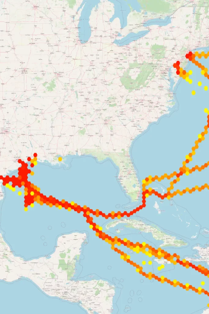
Vessel Tracking using AIS data
GIS can be a valuable tool for organizations and businesses that need to analyze and visualize census data. GIS can be used to map and analyze demographics, housing data, and economic indicators, providing valuable insights into the characteristics and needs of different populations.
Vessel Tracking Using AIS Data is a comprehensive service offered by our company, harnessing the power of Automatic Identification System (AIS) technology to monitor and track maritime vessels in real-time. By capturing and analyzing AIS transmissions, we provide precise insights into vessel movements, positions, and navigational data, empowering maritime operators with valuable information for enhancing safety, efficiency, and decision-making.

WHAT ARE THE ADVANTAGES?
Enhanced Safety: Real-time vessel tracking enables proactive identification of potential hazards, minimizing the risk of collisions and accidents at sea
Optimized Fleet Management: By monitoring vessel positions and routes, our service facilitates efficient fleet management, allowing for improved resource allocation and operational planning.
Improved Navigation: Access to accurate vessel data enables better route planning and navigation, reducing transit times and fuel consumption for optimized voyages.
Regulatory Compliance: Our service helps ensure compliance with maritime regulations by providing documentation of vessel movements and activities
Increased Security: Monitoring vessel traffic and identifying anomalous behavior enhances maritime security measures, safeguarding against threats such as piracy or smuggling.
Overall, our Vessel Tracking Using AIS Data service offers a comprehensive solution for monitoring maritime activities, promoting safety, efficiency, and compliance in the dynamic maritime environment.


