Our services
GIS Projects for Smarter Decisions and Efficient Resource Management
Discover how GIS projects use advanced spatial analysis and geostatistical methods to drive accurate decision-making, predict trends, and optimize resource allocation. Whether for urban planning, environmental conservation, or infrastructure development, GIS projects provide data-driven solutions that empower industries to address complex spatial challenges and enhance overall efficiency.
Geostatistics for Accurate Predictions, Strategic Decision-Making, and Optimal Resource Management

Accurate GIS Data Acquisition Services
Discover the power of GIS Data Acquisition for precise and reliable spatial data collection. Our services support industries like urban planning, disaster management, and environmental monitoring. Learn how accurate GIS data can enhance decision-making and optimize project outcomes.

Explore Interactive Web Mapping Solutions for Real-Time Data Access
Experience the benefits of interactive Web Mapping, where real-time data and dynamic features allow you to visualize, analyze, and explore geographic information like never before. Ideal for industries such as tourism, public health, and environmental monitoring.
Accurate Geocoding Services for Location-Based Insights
Convert addresses into precise geographic coordinates with our geocoding services. Enhance location-based services, optimize routes, improve data integration, and support strategic decision-making across industries like retail and emergency services.

Enhance Your GIS with Python Toolboxes for QGIS and ArcGIS
Discover how Python toolboxes can transform QGIS and ArcGIS workflows with automation, custom tools, and advanced analysis. Streamline tasks, improve data handling, and make informed decisions with Python scripting. Click here to learn more about unlocking the full potential of your GIS.

Topological Modeling for GIS
Discover how topological modeling enhances GIS analysis by examining spatial relationships, optimizing networks, and supporting decision-making in urban planning, land use, and network analysis. Click here to explore how this powerful tool can improve your geographic insights and efficiency.
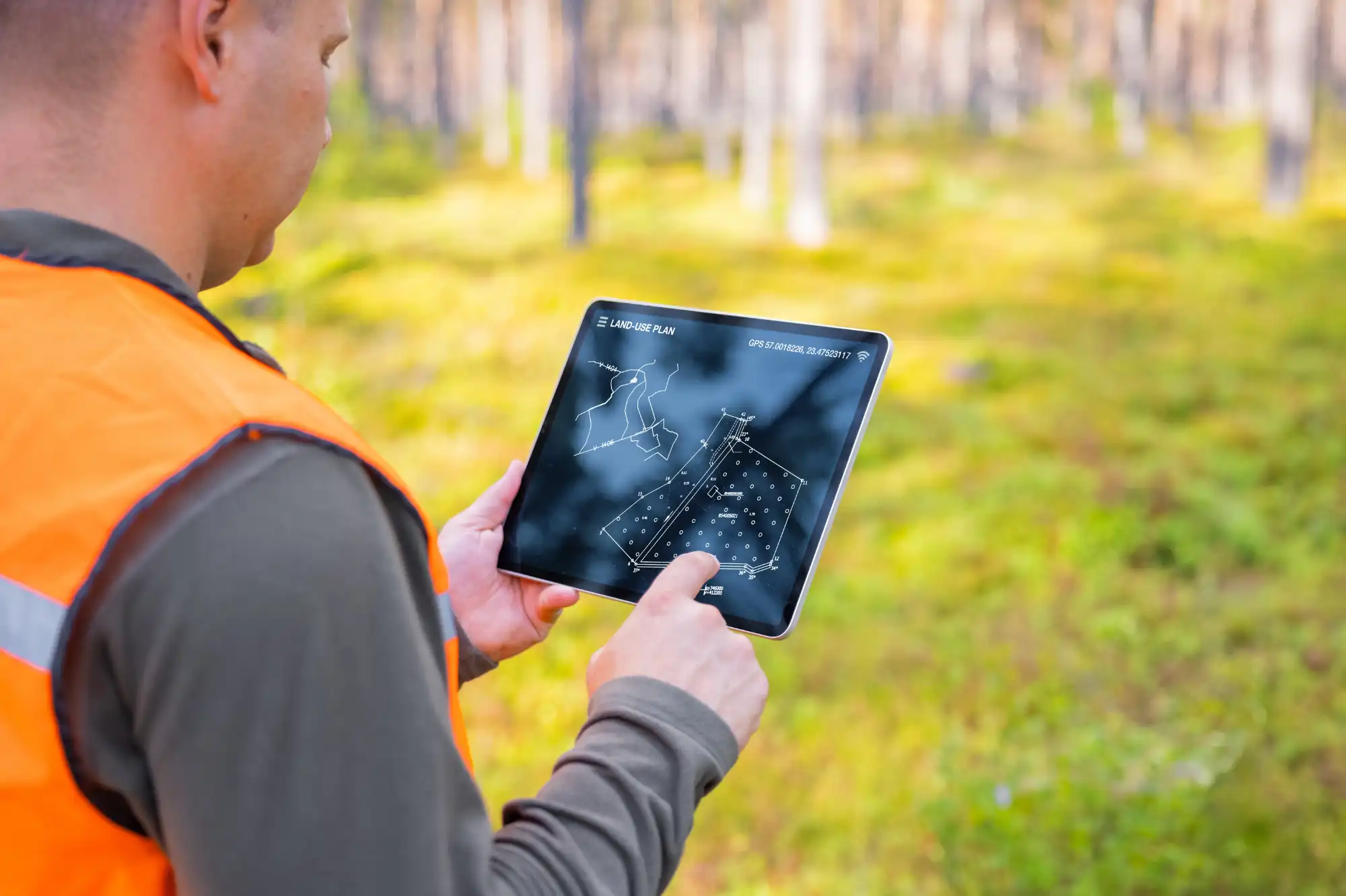
Advantages of Using GIS & Geospatial Analysis
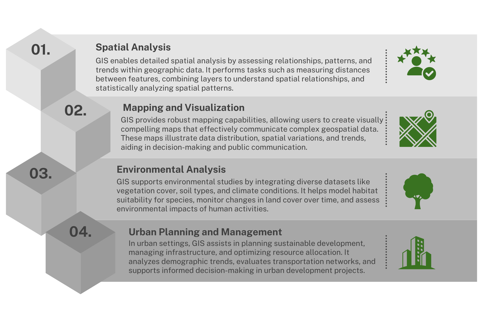
Key Features of GIS & Geospatial Analysis
Optimized Planning
Enhance planning and resource allocation with intelligent data-driven insights based on real-time spatial analysis.
Enhanced Management
Monitor and manage assets in real-time, analyze patterns, and improve overall operational efficiency using advanced GIS capabilities.
Comprehensive Visibility
Gain complete visibility across your operations to improve decision-making and reduce inefficiencies through detailed geospatial insights.
Safety Enhancements
Identify risk-prone areas, implement targeted safety measures, and support emergency response efforts with precise spatial data.
Sustainable Practices
Minimize environmental impact by optimizing resource use and adopting sustainable, eco-friendly practices guided by geospatial analysis.
Case Studies
Improving Asset Management with GIS & Geospatial Analysis
In the realm of asset management, efficient decision-making is crucial. GIS and Geospatial Analysis have emerged as transformative tools, offering profound insights through spatial data analysis. By leveraging these technologies, managers can enhance operations, optimize resource allocation, and improve overall efficiency.

Enhancing Operational Visibility with GIS & Geospatial Analysis
Benefits of Implementing GIS in Transportation & Logistics
Cost Savings
Reduce operational costs through efficient planning and resource allocation. GIS and Geospatial Analysis help minimize resource use and operational inefficiencies, leading to significant cost reductions and increased profitability.
Increased Efficiency
Enhance overall operational efficiency with real-time monitoring and optimized management. GIS and Geospatial Analysis streamline processes, reduce delays, and ensure timely operations, boosting your productivity.
Improved Decision-Making
Provide better decision-making capabilities with accurate data and comprehensive spatial analysis. GIS and Geospatial Analysis allow you to make informed decisions, ensuring reliability and transparency.
Safety and Reliability
Enhance safety with targeted measures and reliable emergency response. GIS and Geospatial Analysis identify risk-prone areas, support emergency coordination, and ensure the safety of your operations.
Sustainability
Promote sustainable practices and reduce your environmental footprint. GIS and Geospatial Analysis help optimize resource use, adopt eco-friendly practices, and support green initiatives, contributing to a healthier planet.
What Our Clients Say


Ready to Transform Your Operations?
Contact us today to learn more about how GIS & Geospatial Analysis can revolutionize your operations.
Frequently Asked Questions
GIS & Geospatial Analysis improve planning by providing detailed spatial data and insights that enable better decision-making. These technologies allow you to analyze and visualize geographic information, helping you identify patterns, optimize resource allocation, and predict future trends. This results in more accurate and efficient planning processes, whether for urban development, disaster management, or resource distribution.
GIS & Geospatial Analysis bring numerous benefits to management, including:
- Real-Time Monitoring: Track assets and operations in real-time, enabling prompt responses to issues.
- Improved Resource Allocation: Optimize the use of resources by analyzing spatial data to identify the most efficient allocation strategies.
- Enhanced Decision-Making: Make informed decisions based on comprehensive spatial analysis and accurate data.
- Cost Efficiency: Reduce operational costs by optimizing processes and minimizing waste through detailed spatial insights.
Yes, GIS & Geospatial Analysis significantly enhance operational visibility by providing a comprehensive view of all activities and assets. These technologies allow you to visualize and monitor operations on a geographic scale, identify bottlenecks, and improve coordination among various departments. This leads to better oversight, increased transparency, and more effective management of operations.
GIS & Geospatial Analysis contribute to sustainability by:
- Optimizing Resource Use: Identifying the most efficient routes and methods to reduce fuel consumption and emissions.
- Supporting Eco-Friendly Practices: Providing insights that help in adopting and implementing sustainable practices.
- Monitoring Environmental Impact: Tracking changes in the environment and assessing the impact of various activities.
- Promoting Green Initiatives: Facilitating the planning and execution of green projects by providing accurate spatial data and analysis.
The costs associated with using GIS & Geospatial Analysis can vary depending on several factors, including:
- Software Licenses: Costs for purchasing or subscribing to GIS software.
- Hardware: Investment in compatible hardware, such as servers and workstations.
- Data Acquisition: Expenses related to acquiring and maintaining spatial data.
- Training: Costs for training staff to effectively use GIS tools and technologies.
- Customization and Maintenance: Expenses for customizing the GIS system to meet specific needs and ongoing maintenance.
However, the investment in GIS & Geospatial Analysis often leads to significant long-term savings through improved efficiency, reduced operational costs, and enhanced decision-making capabilities.
