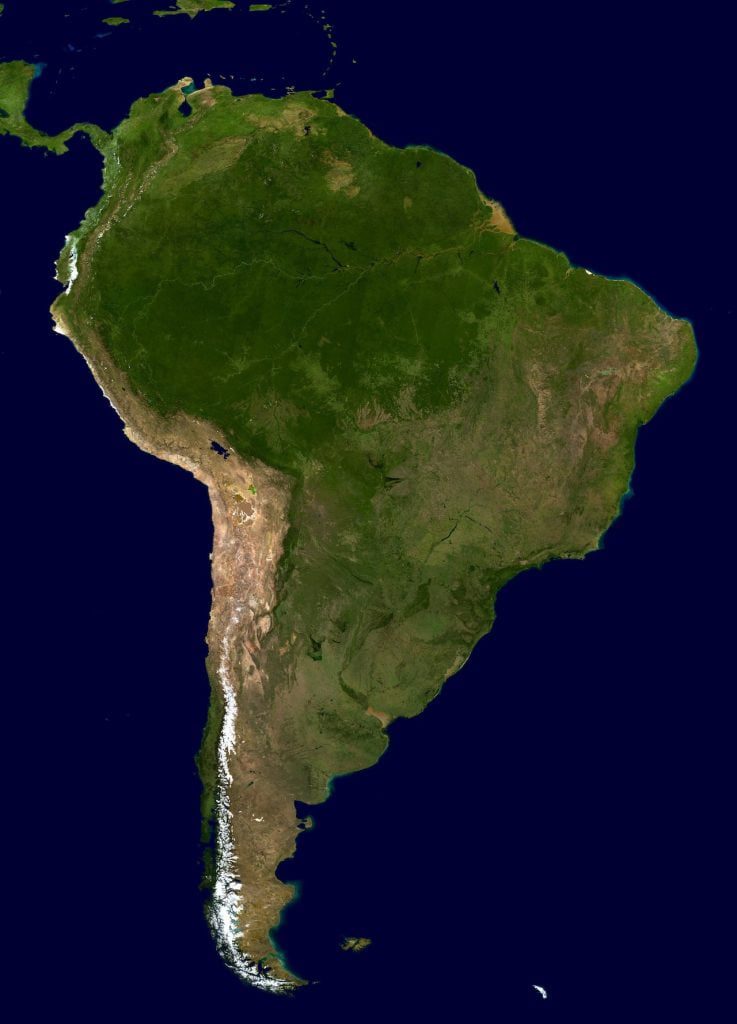
Latin America GIS Data
GIS can be a powerful tool for organizations and businesses operating in Latin America. GIS can be used to analyze and visualize data related to a wide range of topics, including demographics, transportation, and natural resources. In Latin America, GIS can be particularly useful for organizations working in areas such as agriculture, forestry, and disaster management.
GIS data can be a valuable asset for businesses and organizations operating in Latin America. By using GIS to analyze and visualize geographic data, businesses can gain insights into the demographics, transportation networks, and natural resources of the region. This information can be used to inform decision-making and strategic planning, as well as to identify opportunities and challenges.
For example, GIS data can be used to analyze the potential market for a new product or service in a particular region. It can also be used to identify areas with high demand for certain goods or services, or to identify potential locations for new stores or facilities.
In addition to its use in business and industry, GIS data can also be valuable for organizations working in fields such as agriculture, forestry, and disaster management. By analyzing and visualizing data related to climate, soil conditions, and land use, these organizations can better understand and address challenges related to food security, resource management, and environmental protection.
Overall, GIS data can be a valuable resource for businesses and organizations operating in Latin America, helping them to make informed and strategic decisions based on a deep understanding of the region’s geography and demographics.
WHAT ARE THE ADVANTAGES?
Improved decision making: GIS allows organizations to analyze and visualize large amounts of data in an interactive and intuitive way. This can help decision makers to identify trends, patterns, and relationships that may not be immediately apparent in raw data.
Increased efficiency: GIS can help organizations to automate processes and streamline workflows, resulting in increased efficiency and productivity.
Enhanced communication: GIS can be used to create maps and visualizations that can be easily shared with stakeholders, such as government agencies, community organizations, and the general public. This can help organizations to communicate complex information in a clear and concise way.
Improved spatial analysis: GIS provides powerful spatial analysis tools that can help organizations to understand how different data points are related to each other in space and time. This can be particularly useful in industries such as agriculture and forestry, where understanding spatial patterns is critical.
Tourism and Destination Marketing: GIS enhances tourism and destination marketing efforts by analyzing spatial data related to tourist attractions, infrastructure, and visitor demographics. Organizations can use GIS to identify target markets, develop targeted marketing campaigns, and enhance visitor experiences, driving tourism growth and economic development in Latin America.