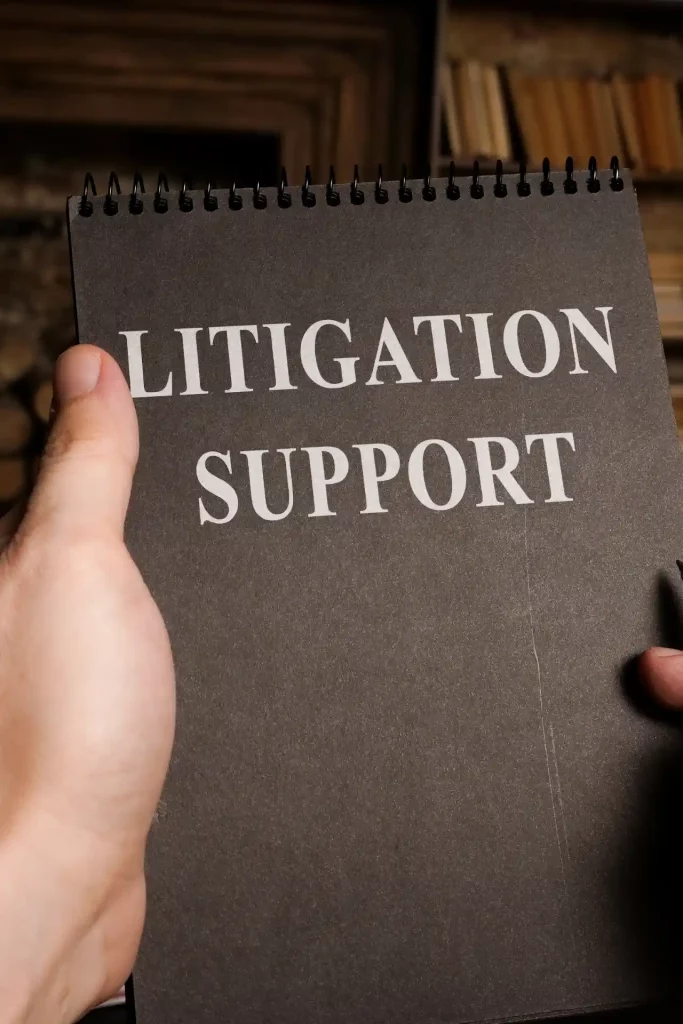
Litigation Support
At Geospatial Solutions, we provide specialized litigation support services. We assist legal teams in visualizing and understanding complex cases by creating maps, 3D models, maps and animations. Our services include: creating visual exhibits, data visualization and analysis, and expert witness testimony. We also provide location-based analysis, land-use planning and historical research as needed. Our team of GIS experts can help legal teams to understand and present their case more effectively.
GIS can help lawyers to understand the facts of a case, identify key arguments, and inform their legal strategy. It can also be used to present evidence in court in a clear and concise manner, making it easier for judges and juries to understand. Overall, GIS can be a valuable tool for legal professionals looking to better understand and present their cases.
WHAT ARE THE ADVANTAGES?
- Case visualization and analysis: GIS can be used to visualize and analyze data related to legal cases, such as witness statements, documents, and other evidence. This can help lawyers to understand the facts of the case and identify key arguments.
- Spatial analysis: GIS can facilitate spatial analysis, which is the use of geographic data and spatial techniques to understand relationships and patterns in data. This can be particularly useful in legal cases, where you may need to understand how different data points are related to each other in space and time.
- Evidence presentation: GIS can be used to create maps and visualizations that can be used as evidence in court. These maps and visualizations can help to illustrate the facts of the case in a clear and concise manner, making them easier for judges and juries to understand.
- Market analysis: GIS can be used to analyze market trends and patterns, such as competition, demand, and market size. This can help lawyers to understand the market landscape and make informed decisions about their legal strategy.
- Market research: GIS can be used to conduct market research, such as surveying clients or gathering data from public sources. This can help lawyers to gather valuable insights about the market and inform their legal efforts.
Litigation Support EXAMPLES
- Visualizing and analyzing complex legal cases: GIS can indeed help visualize and analyze large amounts of data, including witness statements and documents, making it easier to identify patterns and trends that may not be immediately obvious.
- Facilitating spatial analysis: GIS is commonly used for spatial analysis, which involves understanding relationships and patterns in geographic data. This can be particularly valuable in legal cases where spatial relationships are relevant, such as in property disputes or environmental litigation.
- Supporting data-driven decision-making: By using GIS to visualize and analyze data, legal teams can gain valuable insights that inform their legal strategy. This enables them to identify key arguments, prioritize efforts, and allocate resources effectively based on the evidence presented spatially
- Providing a competitive advantage: Leveraging GIS in legal cases can indeed provide a competitive advantage by offering a deeper understanding of the facts and uncovering information that opponents may overlook. This can enhance the effectiveness of arguments presented in court and potentially lead to favorable outcomes.
A law firm representing a property owner is suing a utility company for damages caused by a pipeline leak. The leak occurred in a remote, rural area, and the law firm needs to demonstrate the extent of the damages and the impact on the property owner.
The law firm hires a GIS consultant to help visualize and analyze the data related to the case. The consultant uses GIS to map out the location of the pipeline, the location of the leak, and the location of the property. The consultant also gathers data on the type of terrain, the type of vegetation, and the type of soil in the area.
Using this information, the consultant creates a series of maps and visualizations that show the extent of the damage caused by the leak. The maps demonstrate how the leak affected the property owner’s land, including the loss of vegetation and the contamination of the soil.
The law firm uses these maps and visualizations as evidence in court, demonstrating the extent of the damages and the impact on the property owner. The GIS-based evidence helps the law firm to win the case and secure a favorable settlement for the property owner.
A plaintiff is suing a property owner for injuries sustained in a slip and fall accident on their property. The plaintiff claims that the property owner was negligent in maintaining the property and failed to properly warn of the hazard.
The plaintiff’s legal team hires a GIS consultant to help visualize and analyze the data related to the case. The consultant uses GIS to map out the location of the accident and the surrounding area, including the location of any hazards or warning signs. The consultant also gathers data on the type of terrain, the type of vegetation, and the type of surface on which the accident occurred.
Using this information, the consultant creates a series of maps and visualizations that show the location of the hazard and the lack of warning signs. The maps demonstrate that the hazard was not clearly marked and that the plaintiff had no way of knowing it was there.
The plaintiff’s legal team uses these maps and visualizations as evidence in court, demonstrating that the property owner was negligent in maintaining the property and failed to adequately warn of the hazard. The GIS-based evidence helps the plaintiff to win the case and secure a favorable settlement for their injuries.
A plaintiff is suing a ski resort for injuries sustained in a ski accident on their property. The plaintiff claims that the ski resort was negligent in maintaining the ski slope and failed to properly mark and groom the slope.
The plaintiff’s legal team hires a GIS consultant to help visualize and analyze the data related to the case. The consultant uses GIS to map out the location of the accident and the surrounding ski slope, including the location of any hazards or warning signs. The consultant also gathers data on the slope’s grade, the type of snow, and the weather conditions at the time of the accident.
Using this information, the consultant creates a series of maps and visualizations that show the location of the hazard and the condition of the ski slope at the time of the accident. The maps demonstrate that the hazard was not clearly marked and that the ski slope was not properly groomed, leading to the plaintiff’s accident.
The plaintiff’s legal team uses these maps and visualizations as evidence in court, demonstrating that the ski resort was negligent in maintaining the ski slope and failed to adequately mark and groom the slope. The GIS-based evidence helps the plaintiff to win the case and secure a favorable settlement for their injuries.