Skip to content

Unlock New Insights into Political Dynamics with GIS

Enhance Electoral Analysis, Understand Voter Behavior, and Track Political Trends with Advanced Geographic Information Systems

The Role of GIS in Political Research
Political research
Geographic Information Systems (GIS) utilize spatial data to provide invaluable insights into political dynamics, helping researchers, analysts, and policymakers make informed decisions. By integrating GIS into political research, you can achieve a deeper understanding of electoral patterns, voter behavior, and the geographical factors influencing political outcomes.

Key Features of GIS in Political Research

Electoral Analysis

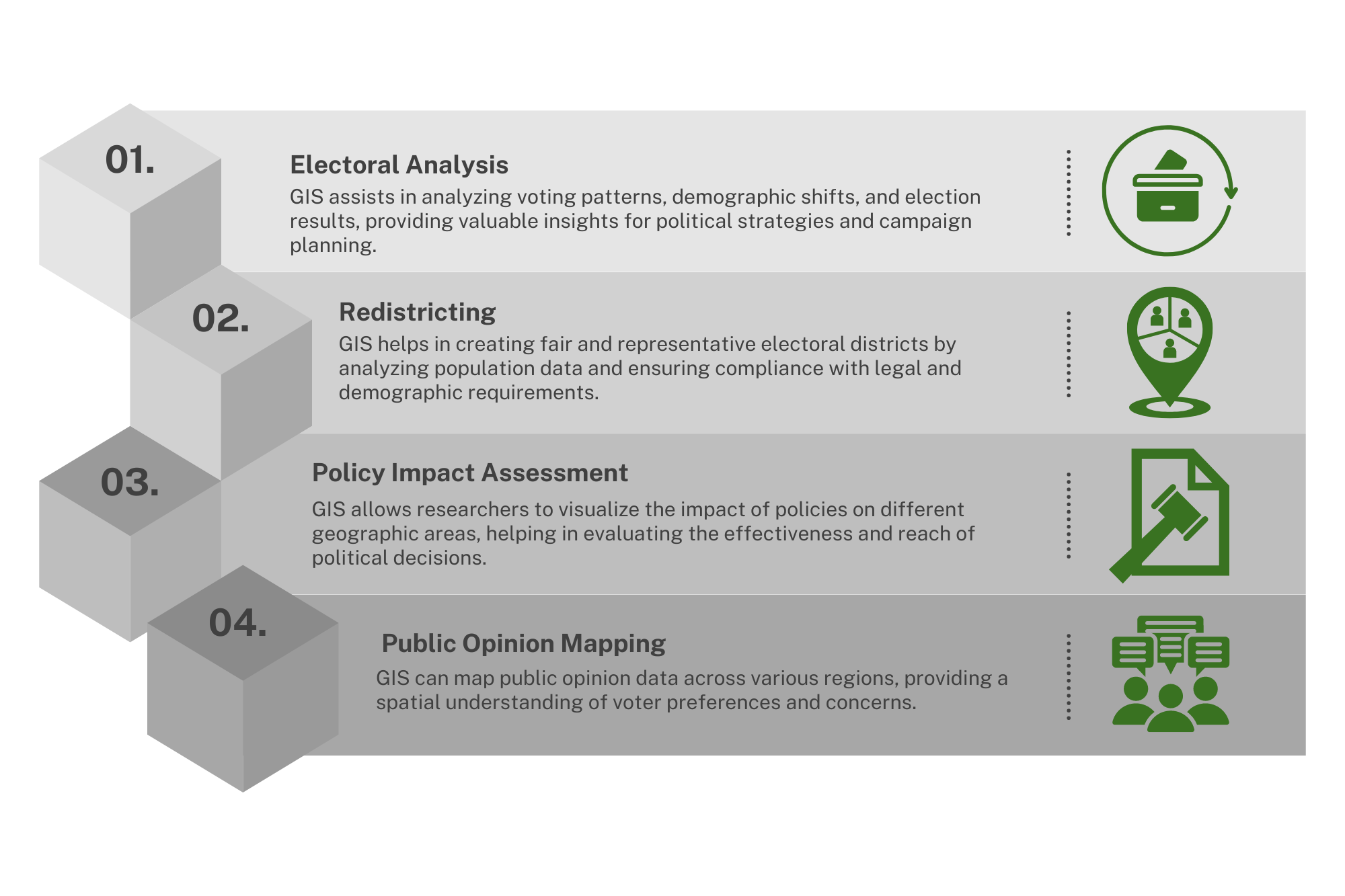
Map electoral districts, analyze voting patterns, and identify key battleground areas with precision.

Voter Behavior Insights

Examine voter demographics, preferences, and turnout across different regions to craft targeted political strategies.

Tracking Political Trends

Monitor and visualize political trends over time to predict shifts in voter behavior and party dominance.

Policy Impact Analysis

Assess the geographical impact of policies, identify regions that benefit or suffer from certain decisions, and make data-driven policy recommendations.

Public Opinion Mapping

Minimize Environmental Impact by Optimizing Routes and Adopting Sustainable, Eco-friendly Practices.

Case Studies

Enhancing Electoral Strategies with GIS

GIS has revolutionized the way political campaigns are managed. By providing detailed spatial analysis, political strategists can optimize campaign efforts, focus resources on critical areas, and increase voter engagement.
Political Research

Understanding Voter Behavior

GIS allows political researchers to delve deep into voter behavior, uncovering insights that traditional analysis might miss. From demographic breakdowns to turnout patterns, GIS reveals the intricate details of how different populations engage in the political process.

Benefits of Implementing GIS in Political Research

What Our Clients Say

Ready to Transform Your Operations?

Contact us today to learn more about how GIS can transform your understanding of political landscapes.

Frequently Asked Questions

GIS enhances electoral analysis by allowing for the visualization and mapping of electoral districts, voting patterns, and demographic data. This spatial analysis helps in identifying key battleground areas, understanding the distribution of voters, and optimizing campaign strategies. GIS can reveal insights into how different regions vote, which can guide targeted outreach efforts and resource allocation.
GIS provides valuable insights into voter behavior by analyzing spatial data on voter demographics, turnout, and preferences. It can identify patterns such as which areas have higher or lower voter turnout, how demographic factors influence voting behavior, and where specific issues or candidates resonate most. This helps in crafting targeted political messages and strategies based on geographic and demographic data.
GIS helps track political trends by providing a visual representation of data over time. It can show changes in voting patterns, shifts in political support, and the impact of political events or campaigns. By analyzing spatial data from various time periods, GIS enables researchers to identify emerging trends, predict future outcomes, and adjust strategies accordingly.
GIS plays a crucial role in policy impact analysis by mapping and visualizing the geographical effects of policies. It allows researchers to assess how different policies affect various regions, identify areas that benefit or suffer from policy decisions, and make data-driven recommendations. This spatial approach helps in understanding the broader implications of policies and ensuring they are equitable and effective.
Yes, there are costs associated with using GIS in political research. These costs can include purchasing GIS software, acquiring spatial data, and investing in training or expertise to effectively use GIS tools. Additionally, there may be costs related to data maintenance and updating. However, the insights gained from GIS can provide significant value, often outweighing these costs by improving decision-making and operational efficiency.

Talk to a Consultant​

Enhance your business by utilizing our comprehensive GIS services. We offer everything from data analysis and visualization to custom project development and have the skills and resources to assist you in achieving your goals. Get in touch with us today to schedule a consultation and learn how GIS can revolutionize your business. During the consultation, we will discuss your specific needs and create a tailored plan to help your business thrive.