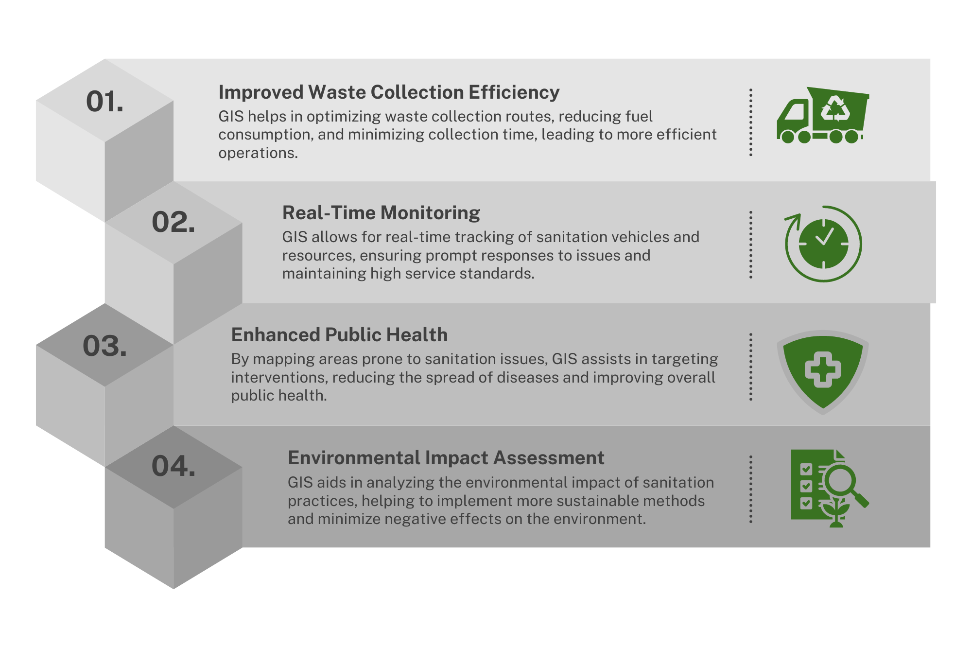
Advantages of Using GIS in Sanitation Services

Key Features of GIS in Sanitation Management
Optimized Waste Collection Routes
Reduce travel time and fuel consumption with smart route optimization based on real-time and historical data.
Enhanced Fleet Management
Track your sanitation vehicles in real-time, monitor staff compliance, and ensure timely maintenance and operational readiness.
Operational Visibility
Gain comprehensive insights across your entire operation to improve service delivery and reduce operational costs.
Safety Enhancements
Identify high-risk areas, implement targeted safety measures, and support swift emergency response in environmental hazard situations.
Sustainable Waste Management
Minimize environmental impact by optimizing routes and adopting sustainable, eco-friendly waste management practices.
Case Studies
Improving Sanitation Fleet Management with GIS


Enhancing Operational Visibility with GIS
Benefits of Implementing GIS in Sanitation Management
Cost Savings
Lower operational costs through efficient route planning and resource allocation. GIS helps minimize fuel consumption and reduce time on the road, leading to significant savings.
Increased Efficiency
Enhance overall operational efficiency with real-time tracking and optimized logistics. GIS streamlines processes, reduces delays, and ensures timely service, boosting productivity.
Customer Satisfaction
Provide better service with real-time tracking and accurate mapping. GIS allows for improved service reliability and customer trust through enhanced transparency.
Safety and Reliability
Enhance safety with targeted measures and reliable emergency response. GIS supports swift action in critical situations and ensures the safety of both public and environmental health.
Sustainability
Promote sustainable practices and reduce environmental impact. GIS supports green logistics, contributing to more sustainable waste management practices.
What Our Clients Say


Ready to Transform Your Operations?
Frequently Asked Questions
GIS improves route planning in sanitation by analyzing geographic data to identify the most efficient paths for waste collection and disposal. This technology considers factors such as road conditions, traffic patterns, and waste generation rates to optimize routes. The result is a significant reduction in travel time and fuel consumption, which not only lowers costs but also increases service efficiency.
GIS offers several benefits for fleet management in sanitation services:
- Real-time Tracking: Enables managers to monitor fleet location in real-time, ensuring that vehicles are on the correct routes and schedules.
- Maintenance Scheduling: Helps predict when vehicles need maintenance, reducing downtime and extending the life of sanitation vehicles.
- Driver Monitoring: Assists in monitoring driver behavior to ensure compliance with safety standards and operational procedures.
GIS contributes to sustainability in several ways:
- Optimized Routes: Reduces fuel consumption and emissions by ensuring that waste collection and disposal routes are as efficient as possible.
- Waste Diversion Strategies: Supports the planning and implementation of waste diversion strategies by identifying suitable locations for recycling centers and composting facilities.
- Environmental Monitoring: Aids in monitoring environmental impact and compliance with regulations, helping sanitation departments minimize their ecological footprint.
The costs of implementing GIS in sanitation services can vary based on several factors, including the scale of operations, the complexity of the GIS software, and the level of customization required. Typical costs include:
- Software Licensing: Ongoing fees for using GIS software.
- Hardware Investments: Costs for servers, GPS devices, and other necessary hardware.
- Training and Support: Expenses for training staff to use GIS effectively and ongoing support services.
- Data Management: Costs associated with collecting, storing, and maintaining up-to-date geographic data.
